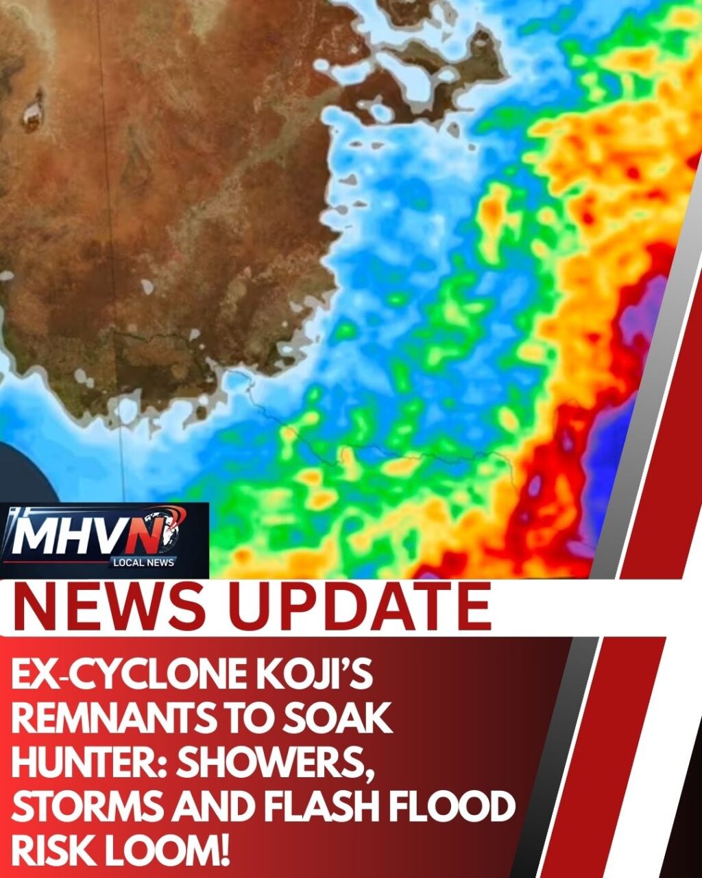
The Hunter Region is likely to see a shift in weather this week as moisture from the remnants of Ex‑Tropical Cyclone Koji feeds into a developing trough over eastern Australia.
Meteorologists say a broad low‑pressure trough extending from Ex‑TC Koji down the NSW coast is expected to draw significant tropical moisture toward the state, increasing the likelihood of showers and isolated thunderstorms in the Hunter over the coming days. (Weatherzone)
What to Expect
🌧 Rain and Thunderstorms
- Showers and storm activity are forecast to develop as the trough moves inland.
- While heavier falls are most likely along the central and south coast, the Hunter is expected to receive noticeable rainfall compared with the dry start to January. (Weatherzone)
⛈ Localised Heavy Downpours Possible
- Scattered thunderstorms may bring brief but intense bursts of rain, increasing the risk of localised flash flooding in low‑lying urban and rural areas.
- These storms could produce gusty winds and intense rainfall rates, typical of deep tropical moisture interacting with coastal troughs. (Weatherzone)
🌊 Increased Coastal Swell
- The setup offshore is expected to generate a larger sea swell late in the week, potentially pushing hazardous surf and strong rip currents along parts of the NSW coast, including north of Newcastle. (Weatherzone)
⚠ What Residents Should Do
- Stay alert for updated warnings from the Bureau of Meteorology, particularly for thunderstorms and coastal hazards.
- Avoid driving through flooded roads and exercise caution near waterways if local rain bands develop.
While the Hunter won’t bear the brunt of the system like parts of Queensland experienced earlier this week, the boost in moisture means the dry spell could break, with rain and storm potential stretching into Friday and the weekend. (Weatherzone)
This update uses the latest Weatherzone forecast guidance based on Bureau of Meteorology data.